Stage 01 · The village
A straggling village and its access
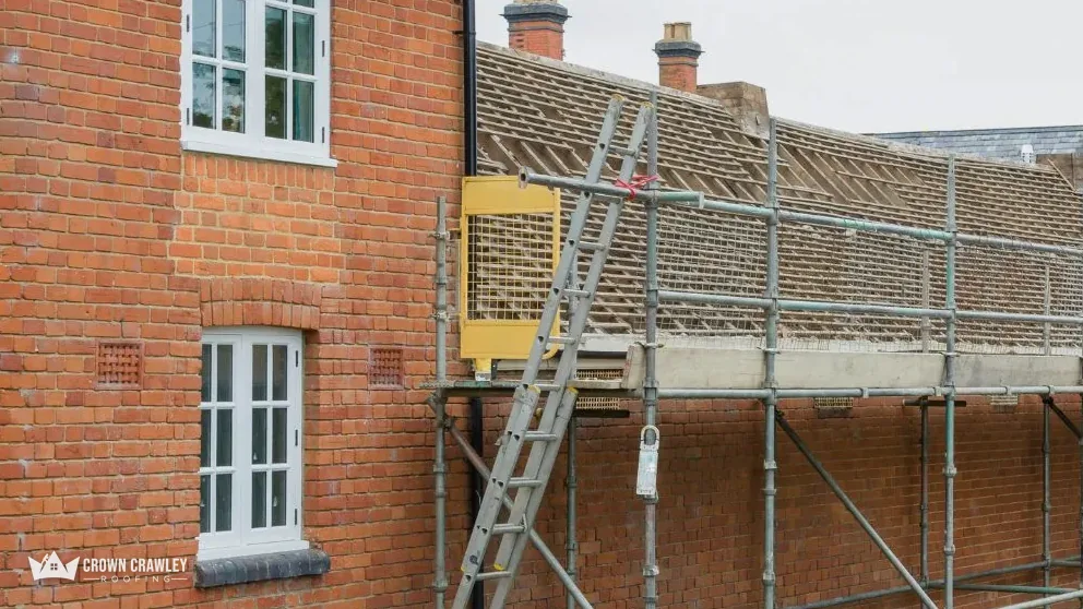
Before any survey we confirm which Plumpton you are in, whether a conservation area applies, and how a scaffold would reach the roof.
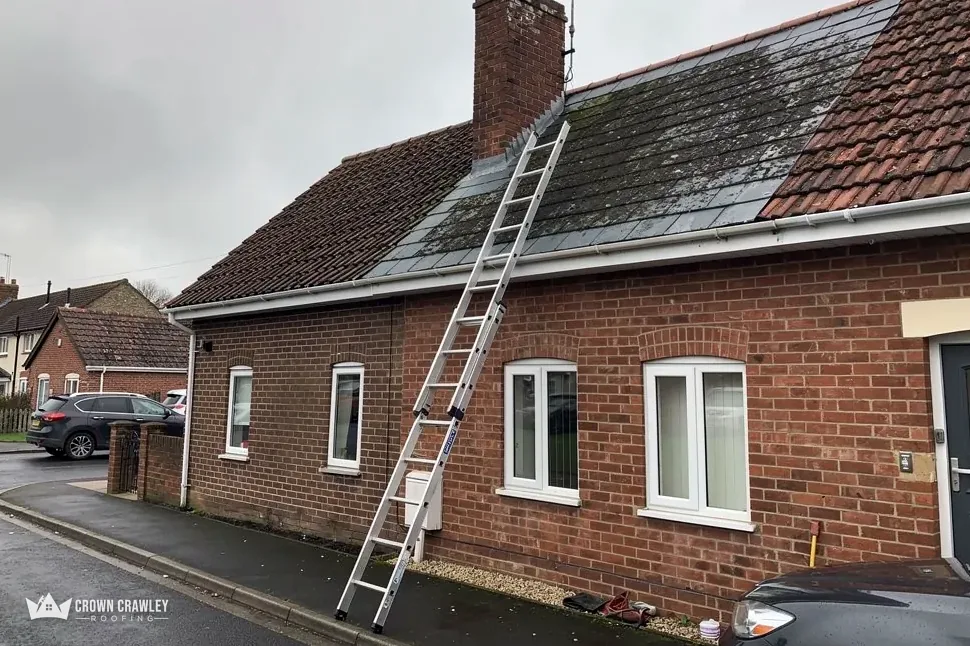
The Victoria County History describes Plumpton Green as a village that straggles along the road north of the steeplechase course and the railway station on the Haywards Heath to Lewes line. That shape has a practical meaning for a roofer. Houses are strung out rather than gathered round a centre, so each plot has its own approach, its own parking and its own distance from the road. Before we price, we ask how a delivery lorry and a scaffold would reach your house, and whether anything on the plot, such as a gate, a hedge or a soft verge, would get in the way.
Is my house in Plumpton Green or in old Plumpton?
The question sounds odd but it matters. The old village of Plumpton and Plumpton Place lie to the south, at the foot of the Downs, and they are a separate place from Plumpton Green. Postcodes and delivery addresses blur the two. Tell us which you mean, and we will look at the right planning picture, because the answer to a planning question can differ between them.
A long village road means the access plan matters as much as the tiles.