Stage 02 · Protection
Church Town, Gun Pond and the boundary
Some of Lingfield is a conservation area and several buildings are listed, so the first job on certain roofs is finding out which rules apply.
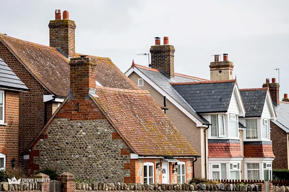
According to the national planning dataset, part of Lingfield falls within the Lingfield (High Street, Gun Pond, Church Town) conservation area, drawn from boundaries Tandridge District Council supplied. Not every street is inside that line, and next-door houses can fall either side of it. Put your address to the council's planning team before settling on a new covering, ridge or chimney. A street name alone will not settle it, because the boundary is drawn on a map. Ask for the answer in writing and keep it with the house papers. If the house turns out to be inside, we photograph the street-facing slope in detail so the council has a clear picture to judge.
Words you will meet in Lingfield
- Horsham slab
- Heavy riven stone laid as roofing
- Conservation area
- Designated zone with extra planning care
- Grade I
- Top grade of the three
- Faculty
- The church's own route for approving works